Skip to content

Use Cases – Real projects processed with SEGMENT42

2D & 3D Mapping

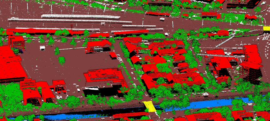
National Scale DTM/DSM generation
National Scale DTM/DSM generation
Client:
Primul Meridian
Location / year:
Romania, 2025

Project summary

Primul Meridian, an aerial survey company, surveyed 13,500 km² at more than 50 points/m² with a latest-generation RIEGL LiDAR scanner, to produce a DTM and DSM the final client uses to analyse river beds. A dedicated model was trained in SEGMENT42 in 14 days and then classified the entire dataset in 12 days on 3 workstations. After a minimal quality check — 4 days for a team of 5 — the data was delivered and accepted by the final client.

Results

  • 13,500 km² at 50+ pts/m²
  • Model trained in 14 days
  • Classified in 12 days on 3 workstations
  • Accepted by the final client, Romanian Mapping Agency

Deliverables

  • Classified point cloud: ground, buildings, vegetation, bridges, water, human-made objects (power lines, fences, cars and other moving objects)
  • DTM & DSM
  • Custom-trained classification model
  • Analytical reporting

Powerline

220 kV Overhead Transmission Line – Asset Mapping and Vegetation Management

Client:
Terra Road Survey

Project summary

Terra Road Survey, a geospatial service provider from Romania, mapped 33.7 line km of a 220 kV overhead transmission line along a 100 m-wide corridor at 80–150 points/m². This pilot project demonstrated that the network assets — towers, cables, insulators and conductors — together with their surroundings (ground, buildings, vegetation) can be mapped accurately from ALS LiDAR data — the scope was to create a Digital Twin Model that is inspected by engineers remotely, from the desktop, mainly for asset management and vegetation management purposes. Because SEGMENT42's pretrained AI model classified the input LiDAR data very accurately, Terra Road Survey turned the workflow into a fully automated product, including a system that flags immediate risks from vegetation growing too close to the lines and cables.

Results

  • 33.7 line km, point density 80–150 pts/m², 100 m-wide corridor
  • Classified in a few hours using a pretrained SEGMENT42 Power AI Model
  • Digital Twin Model for desktop inspection
  • Vegetation risk maps in 2D and 3D, Interactive viewer/GIS System

Deliverables

  • Classified point cloud: ground, buildings, man-made objects, vegetation (low, medium, high), powerline towers, cables, phase conductors, guard wire, insulators
  • Automatically modeled 3D objects: towers, insulators, conductors and buildings (LOD3, LOD2) delivered as 3D objects
  • Shapefiles of the entire network, incl. vegetation risk zones — up to 5 m, 5–10 m, 10–20 m, over 20 m from the network
  • Detailed analytical report pinpointing exactly where the highest-risk vegetation is